
Heritage area focuses on 'Freedom's Frontier'
The Missouri-Kansas border area has been at the center of the struggle for freedom since the first skirmish of the Civil War pitted anti-slavery leader John Brown and future Confederate Colonel Henry Clay Pate at the Battle of Black Jack, on June 2, 1856, nearly five years before Confederate troops lay siege to Fort Sumpter in Charleston, S.C., harbor to formally start the Civil War.
That struggle for freedom reaches into the 1950s via the infamous Brown vs. Board of Education case, and even influenced President Harry S. Truman's involvement in the founding of Israel.
These are some of the story threads that the Freedom's Frontier National Heritage Area want to weave into a complex tapestry that tells the story of the search for freedom and its part in the history of the Missouri-Kansas border area.
According to Judy Billings, Freedom's Frontier National Heritage Area acting director, this began as a grassroots effort of a group of people who were concerned about the landscape and realized that the people of this area have an "important, nationally significant story to share about the struggles over freedom on the frontier, a struggle that shaped our nation's history, a struggle that remains relevant even today."
"Today we adopted a Statement of National Significance, which is a concise way of communicating why we are of national significance," Billings said Sept. 11, after an all-day meeting in Nevada of many of the partner organizations working to make this Heritage Area a reality.
The Statement of National Significance is one of the Department of the Interior requirements before a National Heritage Area can be finalized.
The group has already developed a mission statement and a vision statement.
"A 'national heritage area' is a place designated by the United States Congress where natural, cultural, historic and recreational resources combine to form a cohesive, nationally-distinctive landscape arising from patterns of human activity shaped by geography. These areas tell nationally important stories about our nation and are representative of the national experience through both the physical features that remain and the traditions that have evolved within them," according to http://www.nps.gov/history/heritageareas/FAQ/INDEX.HTM
In 1984 the Illinois & Michigan Canal National Heritage Corridor was the first area to be established, with a total of 40 designated Heritage Areas today.
Each National Heritage Area is managed by a local entity in partnership with various stakeholders, which include individual citizens, local, state and Federal governments, as well as profit and nonprofit groups. These groups work together to preserve the distinct landscape and the local stories, so future generations will understand their relationship to the land.
"We are eight months into a 12 month process of developing a management plan for the entire 41 county area," Billings said.
The management plan is a requirement from the National Parks Service that must be completed before we can ask for any Federal money, she said.
Each National Heritage Area has three years to develop its management plan, which must then be accepted by the Secretary of the Interior.
Billings said that the management plan's primary purpose is to demonstrate to he National Park Service why this is a nationally significant area. It also will provide guidelines to help all of the partners move collectively forward in the process of telling their stories by showing how all of the various stories fit together into an overall coherent story.
"It's hard work. People have to think differently about how they tell their stories," Billings said.
Billings pointed out that the geology and geography of this area is a unique product of the soil, left behind by the retreating glaciers from the last ice age and the people who settled in this area.
During one of the presentations at the meeting, Christy Davis said that the groups need to find a way to tie all of the various areas of the Heritage Area together, and since there are no physical boundaries that encompass the entire area, she suggested that they consider looking at cultural watersheds, which correspond to river basins.
The Missouri-Kansas border is an arbitrary line that affected the Border War in the 1800s.
In the Nevada, Mo.-Fort Scott, Kan. region. Davis said that the Osage-Maries des Cygnes river basin is a defining area.
The early Euro-American settlers in this area, to distinguish them from the Native Americans, were subsistance farmers, who were looking for cheap land, with good soil and a mix of prairie and woods. When they arrived in this area the land along the Missouri and Kansas Rivers was already settled and they had to look elsewhere.
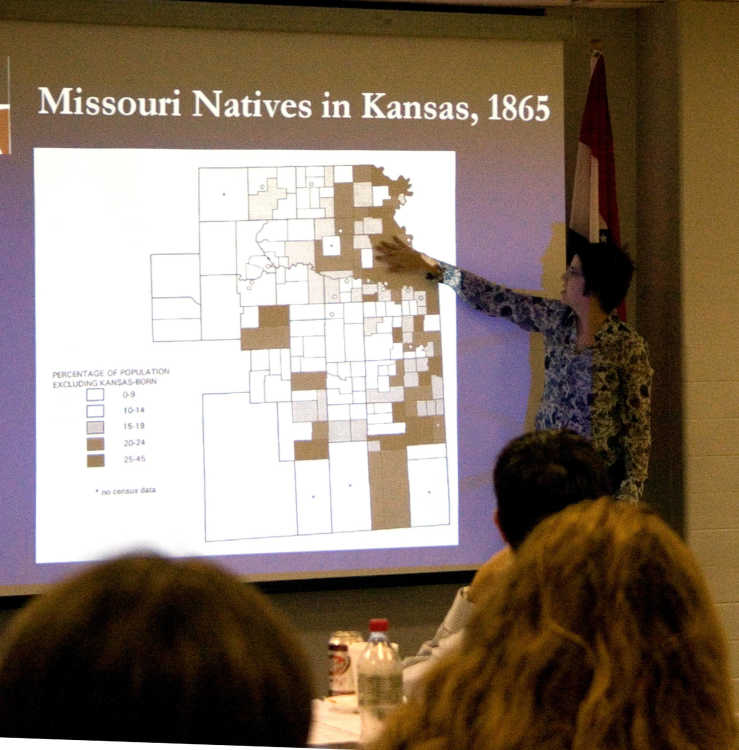
Davis said that by 1855 most of the settlers in eastern Kansas were from the South or the upper South, with the exception of the people who settled Osawatomie, Kan., who were from New England.
Davis also suggested that the Missouri, Kansas, and Neosho River basins provided distinct settlement areas that would help to tie the physical areas together.